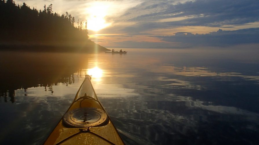
Guided six-day sea kayaking trip on Lake Superior with five days kayaking, five nights camping and a half-day kayak instruction.
Trip Includes
- Qualified Guide(s)
- All Meals and Snacks
- Group Safety and Communication Gear
- Group Camping Gear
- Park Fees
Extra Trip Options
- Meal Adjustment (Contact us if you wish to bring your own meals.)
- Sea Kayak and Gear Rentals
Trip Description
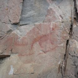
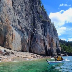
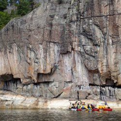
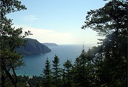
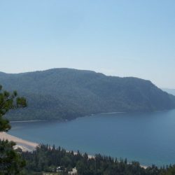
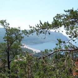
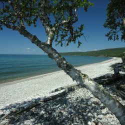
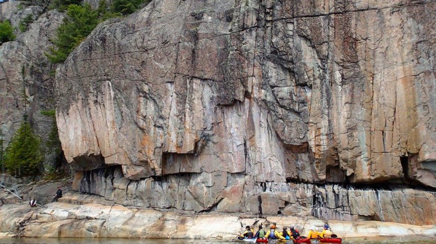
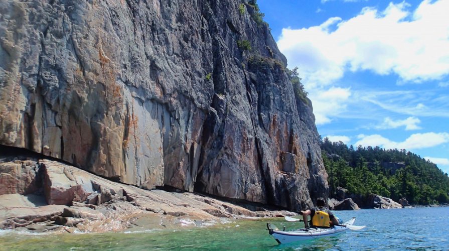
Sea kayak Lake Superior Park from the Agawa Rock Pictographs north along a spectacular coastline of sand and cobble beaches and rocky headlands, all the way to our Rock Island Paddling Centre on Michipicoten Bay.
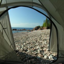
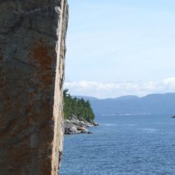
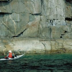
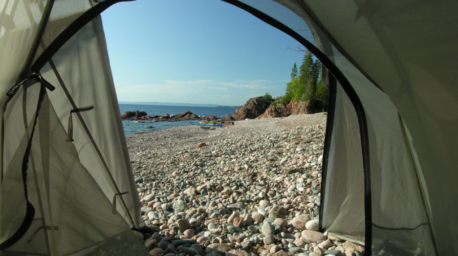
Highlights of this Lake Superior kayak trip include an inspiring mix of Ojibwa cultural sites, fascinating geology, beaches, dramatic headlands and sea caves, and plenty of opportunities for exploration on and off the water. We will camp on some of Lake Superior’s best beaches and visit pictographs and other Indigenous spiritual sites like Devil’s Warehouse Island and Nanabush Rock, where we leave offerings of thanks to the original inhabitants of this wild place. You can also stretch your legs from our campsites along the Coastal Hiking Trail and experience the remoteness of the water access-only shoreline in the park’s north end.
Your trip begins with a half-day group paddling skills and safety workshop at our Rock Island Paddling Centre on the Michipicoten River. We conclude the day with a home cooked dinner at our lodge and trip orientation with your guide(s) and tripmates. You’ll enjoy camping overnight on our beach (space may also be available in our lodge, glamdome or prospector tents at additional cost). Following breakfast the next day, we shuttle by van to begin our journey on the crystal clear waters of the largest freshwater lake in the world.
This 7-day, 90-km Lake Superior guided sea kayak trip is designed for advanced novice and intermediate paddlers. Some previous paddling experience is required and your enjoyment will be enhanced if you are in good physical condition and comfortable with backcountry camping. The lake is mostly calm in summer, but when it gets rough we enjoy the view from shore, so experience paddling in surf and big swells is not necessary.
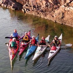
Each group travels at its own pace; we usually spend most of the day on the water, leaving lots of time for covering the distance and exploring the Lake Superior Provincial Park coast and providing breaks for water and snacks. We typically use single sea kayaks, with double (tandem) kayaks available as well.
This is a wonderful trip for people wanting to experience paddling and camping on the wilderness coast of Lake Superior Provincial Park. It focuses on the beautiful places in the uncrowded, northern portion of the park. There is also an instructional component to this trip: your paddling and backcountry camping skills will improve dramatically in the company of similarly outdoor-minded companions. Join us this summer!
*The following is a typical trip itinerary from our Rock Island Lodge site at the mouth of the Michipicoten River and allows for 1 to 2 wind days so our actual campsites and start and finish points may vary significantly.
Typical Trip Itinerary
| Day | Activity / Campsite | Distance | Sights & Highlights |
|---|---|---|---|
| 1 | 2 PM: arrive at NSA/Rock Island Paddling Centre for group kayak skills/safety session, trip preparation, dinner. Beach camping | Meet your guide(s) and group at Rock Island, enjoy an afternoon and evening of Lake Superior views from the mouth of the Michipicoten River | |
| 2 | Morning shuttle to Sinclair Cove. Camp at Baldhead River/Coldwater Creek | 15km | Agawa Rock Pictographs, Katherine Cove, Baldhead River |
| 3 | Paddle to Gargantua | 20km | Beatty Cove and Telegraph Rock, unique rhyolite rock formations, easy hiking from campsite |
| 4 | Paddle to Chalfant Cove area | 11km | Gargantua Harbour and wreck of the Columbus, Devil’s Warehouse Island, (Nanabush Rock); great hiking opportunities if time allows |
| 5 | addle to Red Rock area | 10km | Pukaskwa pits and remote shores, amazing wild beach campsite at Red Rock River |
| 6 | Paddle to Till Creek or Brule Harbour | 12-20km | Cap Chaillon Sea Caves, sandstone grindstones, Old Woman Bay cliffs, Till Creek waterfall *Optional take-out at Old Woman Bay (if camping at Till Creek) |
| 7 | Brule Harbour to NSA base at Michipicoten River | 18km | Entrance Island, Brule Harbour, Noisy Bay, Smoky Point and Driftwood Beach—remote shoreline of cliffs and cobblestone beaches |
